SHEET 3 OF 8 · PROJECT NOTES · 2020 TO 2025
Projects
Six jobs from the last six years, written up the way the crew chief tells it: what we were asked to do, what went sideways, and what came out the other end.
Hover or focus a pin to find its project. Dashed ring: where most of our work sits.
Index of case notes
- 01140 lots in Meridian2023Meridian, Ada County · Homebuilder and developer
- 02Canal realignment for an irrigation district2022Parma, Canyon County · Irrigation district
- 03Highway shoulder widening topo2024McCall, Valley County · Highway district
- 04Ranch boundary resolved with the GLO plat2021Council, Adams County · Family cattle ranch
- 05Drone volumetrics for a gravel pit2025Mountain Home, Elmore County · Aggregate producer
- 06Stormwater design for an elementary school2024Caldwell, Canyon County · School district
Client names stay off the page unless the client asks otherwise. Locations are the nearest town.
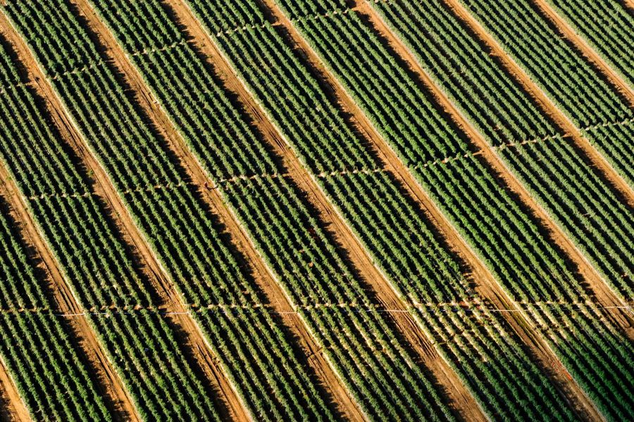
Homebuilder and developer · 2023
140 lots in Meridian
- Location
- Meridian, Ada County
- Scope
- Topographic survey, preliminary plat, three final plats, grading and drainage, road and utility design, construction staking.
- Equipment
- Three GNSS rovers, one robotic total station, monthly drone orthophotos for progress billing.
- The tricky part
- A diagonal irrigation lateral cut across Phase 2, and a 1970s well-house easement that was missing from the title report. We found it in the district's own ledger and redrew the lot fabric around it.
- Result
- 140 lots, three final plats recorded in 11 months, 4.2 miles of public street staked, zero plat resubmittals.
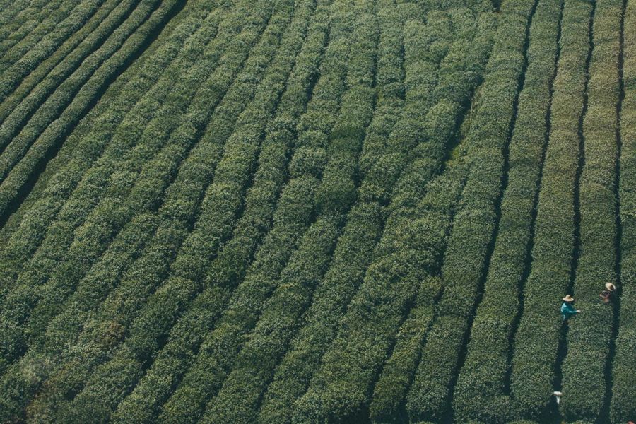
Irrigation district · 2022
Canal realignment for an irrigation district
- Location
- Parma, Canyon County
- Scope
- Route survey, easement descriptions, hydraulic grades, construction plans, staking and as-built.
- Equipment
- RTK rovers, digital levels for invert grades, an RTK drone for before-and-after surfaces.
- The tricky part
- 1.9 miles had to move inside a 20-week winter shutdown, across 31 landowners, with a grade tolerance of 0.02 ft over 600 ft on the concrete flume.
- Result
- 1.9 miles realigned, 31 easements described, water on the new channel April 11, final grades within 0.03 ft.
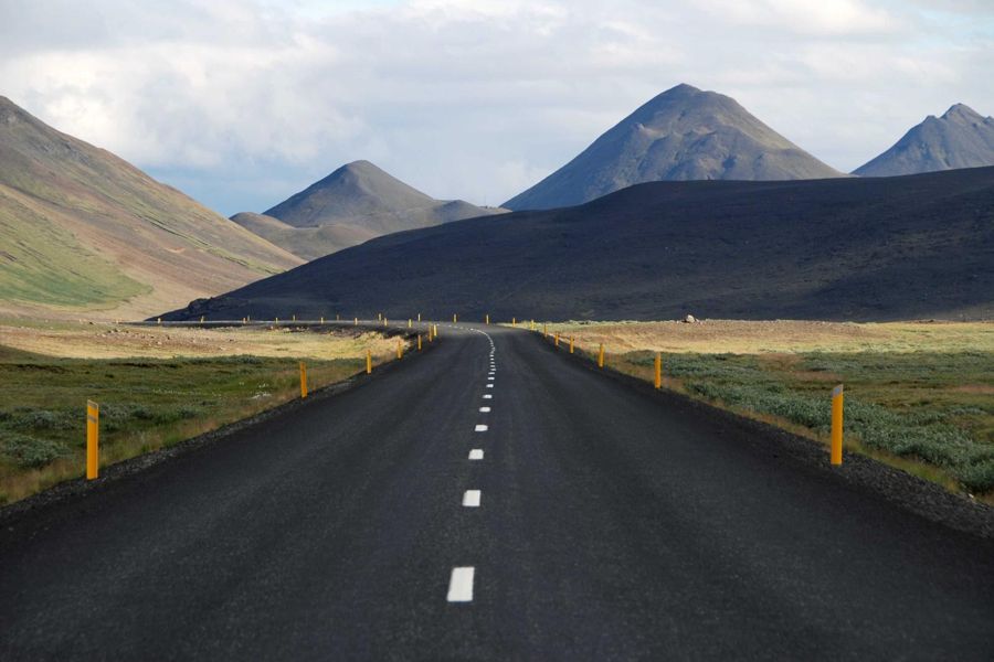
Highway district · 2024
Highway shoulder widening topo
- Location
- McCall, Valley County
- Scope
- Corridor topography and right-of-way survey for 6.4 miles of two-lane highway.
- Equipment
- Two crews with GNSS and total stations, a drone for the cut slopes and rock faces.
- The tricky part
- Steep cut slopes, one lane always open, and a snow-free window of about 40 days. Flaggers set the pace, so we flew the slopes and walked only the pavement.
- Result
- 6.4 miles surveyed in 17 field days, 212 right-of-way monuments recovered, 3 encroachments flagged before design started.
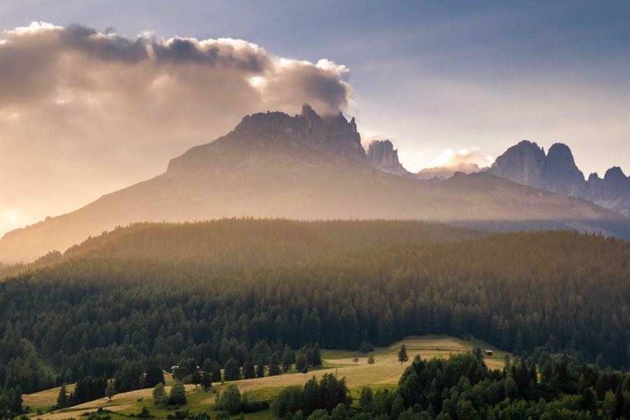
Family cattle ranch · 2021
Ranch boundary resolved with the GLO plat
- Location
- Council, Adams County
- Scope
- Historical research, retracement of 640 acres, record of survey.
- Equipment
- GNSS static sessions, robotic total station, a metal detector and a long afternoon with a shovel.
- The tricky part
- Two earlier surveys disagreed by 14 feet. The 1911 General Land Office field notes called a ponderosa bearing tree that was long gone. We found the stump scar and the pit, and held the corner there.
- Result
- 14-foot discrepancy settled without a lawsuit, 19 hours in the archive, 38 days from first call to filed record of survey.
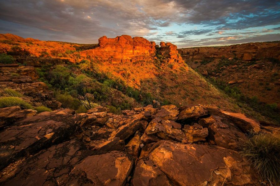
Aggregate producer · 2025
Drone volumetrics for a gravel pit
- Location
- Mountain Home, Elmore County
- Scope
- Monthly volume surveys of 11 stockpiles, surveyed ground control, a reconciliation report for the lender.
- Equipment
- RTK multirotor with a 20 MP camera, a base station, 24 numbered ground targets.
- The tricky part
- Stockpiles move daily, dust hazes the afternoon flights, and the pit floor floods after rain. We fly at 7 am and shoot the water line for a below-surface correction.
- Result
- 412,000 cubic yards measured within 1.6% of scale-house tonnage. A 38-minute flight replaced two days on foot.
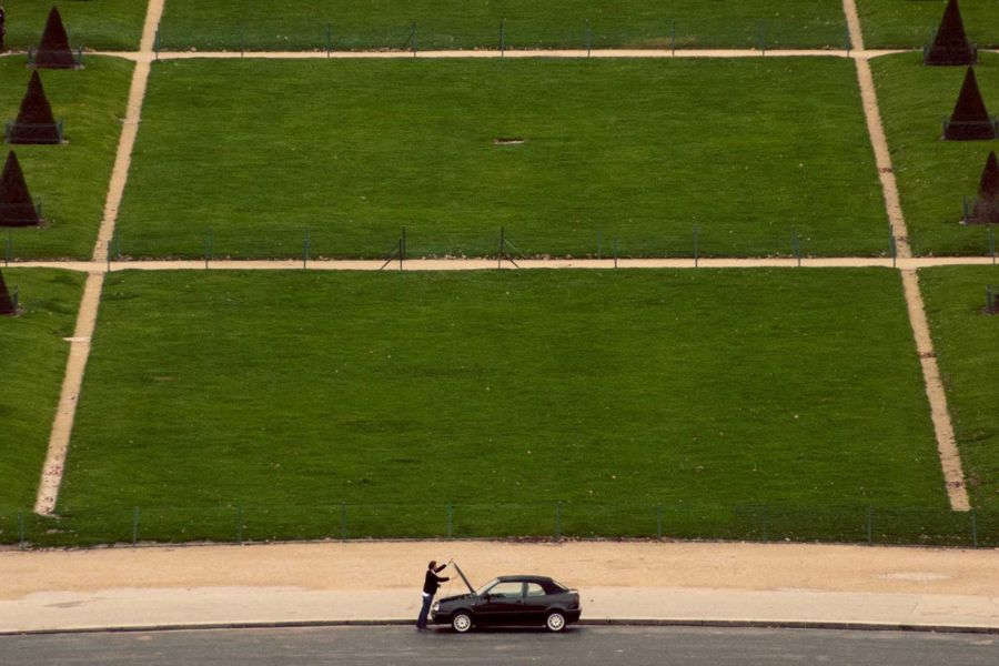
School district · 2024
Stormwater design for an elementary school
- Location
- Caldwell, Canyon County
- Scope
- Topographic survey, grading and drainage design, infiltration layout and plans for an 8.3-acre campus.
- Equipment
- Robotic total station, digital levels, infiltration test data from the geotechnical firm.
- The tricky part
- Groundwater rises to 4 feet during irrigation season and no discharge is allowed off the site. The design had to work in April, not just in August.
- Result
- 9 drywells and one detention swale hold the 25-year storm on site. Stamped plans in 14 weeks, no drainage comments on second review.
Start a job
Have a site like one of these?
Tell us the parcel, the county and the deadline. We will say plainly whether it is a two-week job or a two-month one.
Request a quoteBoise, ID 83702
+1 (208) 555-0159
[email protected]