SHEET 5 OF 8 · ABOUT · FOUNDED 2003

About

Twenty-six people on the fourth floor of a Bannock Street building, plus three trucks that are rarely there.

History

Twenty-three years, one address.

  1. 2003

    Kevin Moreau, PLS and Dr. Hana Sorensen, PE open Kestrel Barrow in a rented room over a print shop at 1215 W Bannock. One total station, one borrowed plotter, and a client list of two.

  2. 2004

    First subdivision plat: six lots off Eagle Road. The developer pays in two installments and one pie.

  3. 2009

    Lot sales stop. The firm keeps all fourteen employees by shifting to highway district and irrigation work, and both principals take a year of reduced pay.

  4. 2016

    First drone pilot licensed under the new FAA rules. The first mapped site is a gravel pit near Mountain Home, which is still a client.

  5. 2019

    Water resources group formed after two canal projects in a row. Three engineers and two survey technicians, working on the irrigation calendar.

  6. 2022

    Moved up to Suite 400 in the same building so the crews could have a proper gear room and the plotters could have a door.

  7. 2026

    Twenty-six staff, three survey crews, three aircraft. The 4,100th boundary survey went on file in the spring, a quarter-acre lot in the North End.

Principals

Kevin Moreau, PLS

Principal surveyor

Grew up on a sheep outfit near Mountain Home and has been retracing old lines since 1994. Kevin reads the General Land Office field notes for fun, which is mostly why the firm gets the difficult boundary calls from other surveyors.

He signs every ALTA map and every record of survey that involves a missing corner.
Dr. Hana Sorensen, PE

Principal engineer

Spent eight years at a highway district before co-founding the firm, and holds a doctorate in civil engineering with a water resources focus. Hana leads drainage design and the water resources group.

She also runs the Thursday plan review, where anyone in the office can say a drawing does not make sense.

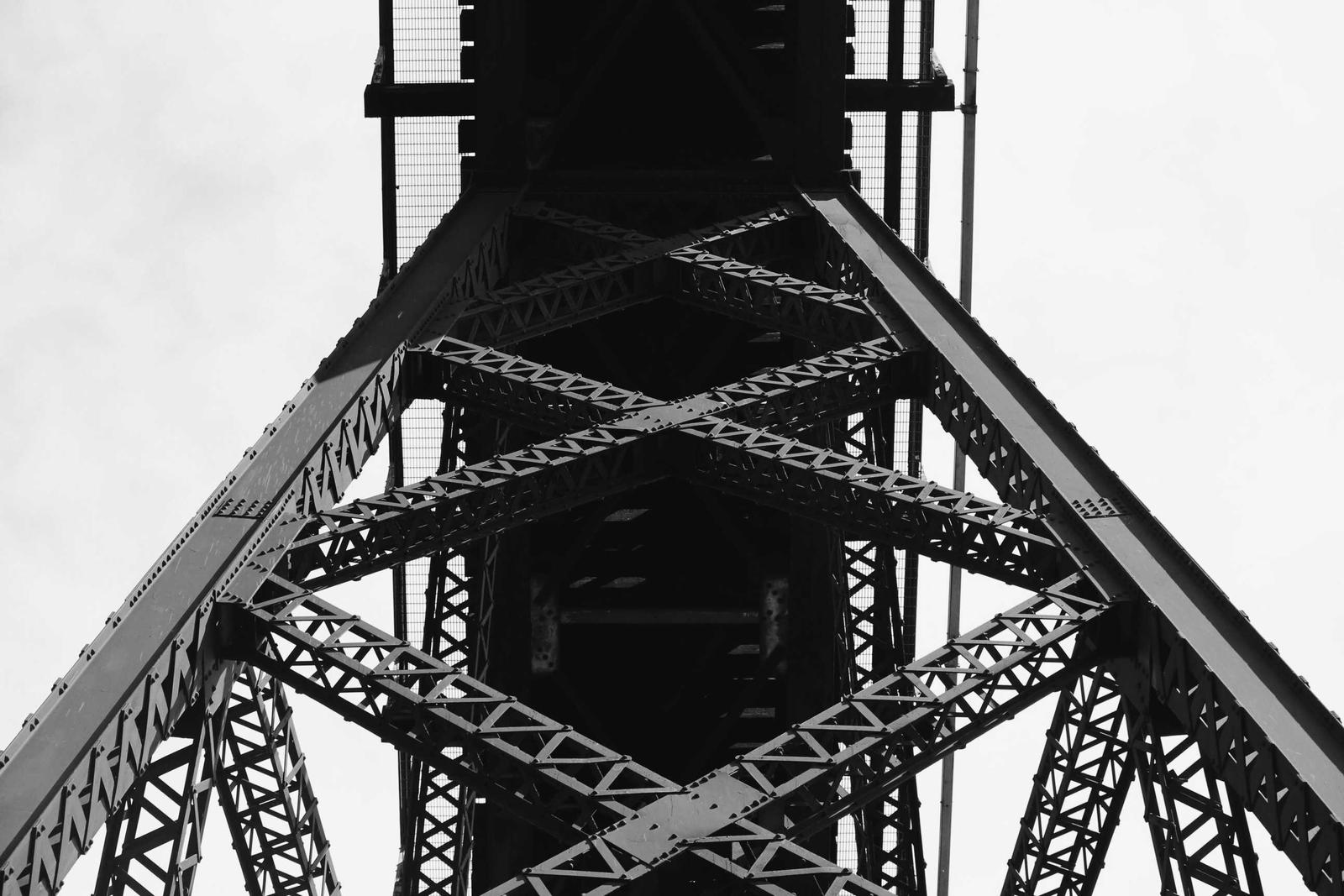
Black and white view up into the steel lattice of a tall truss tower
Structure surveySteel lattice, looking up. Bridges and towers are measured by scanner, not tape.

The crews

Three crews, three territories.

CREW 01

Foothills

Boundary retracement and city lots in Boise and Ada County. Marcus Delgado has run this crew for 11 years and can find a 1962 rebar under four inches of lawn.

Chief
Marcus Delgado
Size
4 people
Area
Boise, Ada County
CREW 02

Valley

Construction staking for the subdivisions in Canyon, Gem and Payette counties. Tessa Lindqvist's crew sets about 2,000 stakes in a busy week.

Chief
Tessa Lindqvist
Size
4 people
Area
Canyon, Gem, Payette
CREW 03

High desert

Rural boundaries, ranch work and canal surveys in Owyhee, Elmore and Malheur counties. Ruben Ochoa's truck carries a shovel, a probe and a lot of water.

Chief
Ruben Ochoa
Size
3 people
Area
Owyhee, Elmore, Malheur OR

Equipment

What is in the trucks.

Calibrated every spring, checked against a baseline in the Boise foothills.

InstrumentCountUsed for
Robotic total stations, 1-second6Boundary, topo and staking
GNSS RTK receivers9Control, staking, corridor work
Digital levels4Canal inverts, building pads, flume grades
Multirotor drones, one with RTK3Orthophotos, volumes, slope survey
Terrestrial laser scanner1Structures, bridge piers, as-builts
Base stations2Drone control and static sessions
Field trucks, two with ATV trailers7All of it, plus the lunches
Overhead view of a striped grass playing field inside a stadium, half in shadow
Overhead pass, striped turf, half in shadowFig. 2

Drone program

Two pilots, three aircraft, one rule about people.

The program started in 2016 with one pilot and one aircraft. It now has two FAA-licensed pilots and three aircraft, one with RTK positioning. Every flight is tied to ground control that a surveyor has shot with GNSS, so the maps close to survey tolerance rather than to a photographer's guess.

We fly under 400 feet, we do not fly over people, and we file airspace authorizations for sites near the Boise airport before we drive out. Wind over 20 mph or smoke over the pit and we reschedule.

Memberships: the state society of professional land surveyors, the national society of professional surveyors, the state society of professional engineers, and the regional highway districts association.

Start a job

Come by Suite 400.

Visitors can park on the Bannock Street side. The elevator is just past the mailboxes. Call first if you are bringing rolled plans, since the plan table is usually in use.

Request a quote
1215 W Bannock Street, Suite 400
Boise, ID 83702
+1 (208) 555-0159
[email protected]