43°36'55"N 116°12'07"W · Boise, Idaho · Since 2003
We find the line and then we build to it.
Kestrel Barrow is a land surveying and civil engineering firm on Bannock Street in Boise. Boundary and ALTA surveys, platting, grading and drainage, roads and utilities, and drone mapping for developers, ranchers, highway and irrigation districts across southwest Idaho and eastern Oregon.
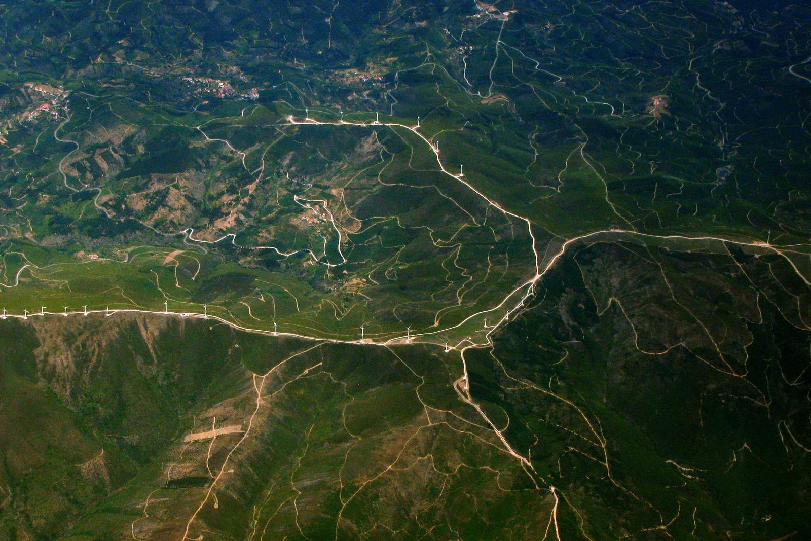
A boundary is a claim. We bring the evidence.
Kevin Moreau and Hana Sorensen opened the firm in 2003 in a rented room above a print shop on Bannock Street, with one total station and a borrowed plotter. Surveyor and engineer under one roof was the whole idea: the person who set the corner sits down the hall from the person who drew the pipe to it.
Twenty-six people later, we still work that way. Field notes get read by the designer, and design changes go back to the crew chief before anyone drives a stake.
Office record, as of October 2026
boundary surveys since 2003, from quarter-acre city lots to 2,000-acre grazing allotments.
subdivisions platted, the first a six-lot plat off Eagle Road in 2004.
people: three survey crews, two licensed drone pilots, and a small water resources group.
average turnaround on a boundary survey, signed agreement to stamped record of survey.
What we do
Eight kinds of work, one office.
Typical turnaround is listed with each. Rush work is possible on most of it. Ask for Dana at the front desk.
Scope and deliverablesBoundary and ALTA surveys
Retracement of deeds and plats, corner recovery, monument setting, and ALTA/NSPS land title surveys for lenders and title companies.
Topographic and design surveys
One-foot contour topography with utilities, trees and structures, plus route and corridor surveys for roads and pipelines.
Construction staking
Lot corners, curb and gutter, sewer and water lines, building pads and grade stakes, with as-built checks when the work is done.
Subdivision platting
Preliminary and final plats, lot line adjustments, condominium plats, and the county and city submittals that go with them.
Site grading and drainage
Grading plans, retention and infiltration design, erosion and sediment control, stamped by a licensed engineer.
Road and utility design
Local street and subdivision roadways, water and sewer extensions, pressure irrigation, built to highway district standards.
Drone mapping and volumetrics
Orthomosaics, point clouds, contours and stockpile volumes with surveyed ground control, for pits, ranches and job sites.
Water resources
Canal realignment surveys, ditch easements and drainage studies for irrigation districts and landowners.
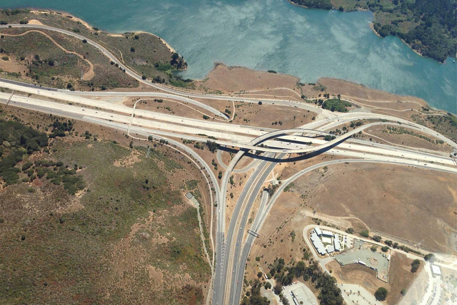

Plain-language guide
Before you hire a surveyor.
What a boundary survey actually is, why a record of survey matters, what monuments look like in the ground, and what it should cost you. Written by the crew chiefs, not marketing.
We get the same eleven questions every week. The guide answers them with ranges and examples, so the call with us can be about your property.
Read the guide and FAQFrom the file
They found a 1911 corner call that two earlier surveys missed. The neighbor's fence sat 14 feet onto our ground and we had the paper to show it.
Dale Whitcomb, owner
Whitcomb Cattle Co., Council, Idaho
Stakes were in before the excavator showed up, and the cut sheet matched the plan set. Plenty of firms cannot say that about their staking.
Renata Okafor, project manager
Alder Creek Homes, Meridian, Idaho
Start a job
Send us the parcel number.
Most boundary requests start with a parcel number and a county. We reply by the next business day.
Request a quoteBoise, ID 83702
+1 (208) 555-0159
[email protected]